Earthquake in Puerto Rico. Where’s this?
On the 8th of January, there was a big earthquake in Puerto Rico and then a few more after that.
On the 8th of January, there was a big earthquake in Puerto Rico and then a few more after that. The governor has called for a state of emergency – it is the island’s strongest earthquake in over 100 years.
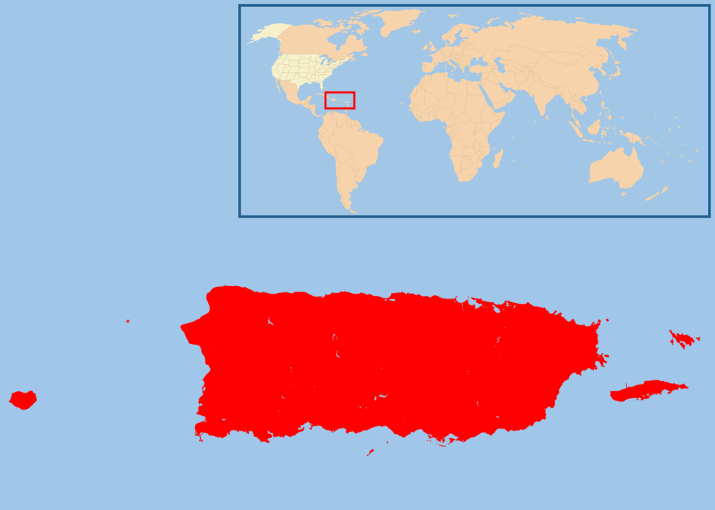
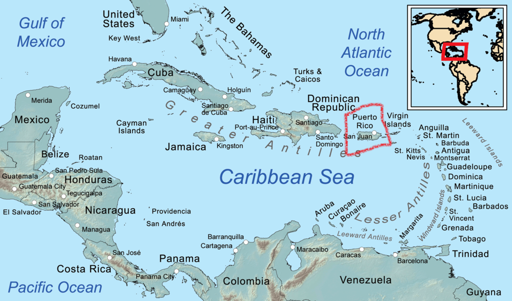
Where is Puerto Rico?
Puerto Rico (Spanish for Rich Port ) is a Caribbean island which is an unincorporated territory (meaning that it is controlled by the United States) of the United States. It is located in the northeast Caribbean Sea, approximately 1,000 miles (1,600 km) southeast of Miami, Florida. (See map below).
It used to be a Spanish colony, and so its people speak mainly Spanish today.
Puerto Rico has a long history of earthquakes. It is located on the edge of the Caribbean tectonic plate, which collides with the North American plate – this causes many earthquakes.
Two -thirds of the island is without power after these latest quakes
What is a Tectonic plate?
Tectonic plates are pieces of Earth’s crust and uppermost layer. Also called lithospheric plate, these are gigantic slab of solid rock that move under the earth’s surface. Plate sizes can vary from a few hundred to thousands of kilometers across. The Pacific and Antarctic Plates are among the largest


Comments